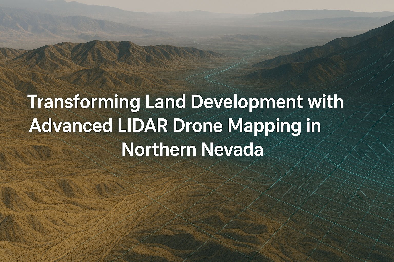
Transforming Land Development with Advanced LIDAR Drone Mapping in Northern Nevada
In the rugged landscapes of Northern Nevada, where steep slopes meet pristine lakes and valleys stretch toward snow-capped peaks, land development has always presented unique challenges. Traditional surveying methods struggle to capture the complex terrain efficiently, often resulting in delays, cost overruns, and incomplete data. Enter the revolutionary world of LIDAR drone mapping – a technology that’s fundamentally changing how development projects are planned, executed, and monitored across the Sierra Nevada region.
At Sierra Drone Concepts, we’ve witnessed firsthand how advanced drone mapping services have transformed projects throughout Carson Valley, Lake Tahoe, and surrounding areas. By combining cutting-edge unmanned aerial systems with sophisticated LIDAR and photogrammetry technology, we’re providing developers, engineers, and environmental professionals with unprecedented access to accurate, comprehensive terrain data – all while saving time and reducing costs.
Understanding LIDAR and Photogrammetric Drone Technology
Table of Contents
What is LIDAR Drone Mapping?
LIDAR (Light Detection and Ranging) represents the pinnacle of modern surveying technology. When mounted on our specialized drones, LIDAR sensors emit laser pulses that measure distances to the earth’s surface with remarkable precision. These systems collect millions of data points per second, creating what we call “point clouds” – detailed three-dimensional representations of terrain and features.
Unlike traditional surveying, LIDAR drone survey technology can:
- Penetrate vegetation to capture ground elevation beneath tree canopies
- Achieve vertical accuracy within 2-3 centimeters
- Collect data points at densities exceeding 100 points per square meter
- Operate effectively in various lighting conditions
- Cover extensive areas efficiently and safely
Photogrammetry: The Perfect Complement
While LIDAR excels at capturing precise elevation data, photogrammetric mapping adds another dimension. Photogrammetry drone services involve capturing overlapping high-resolution images that sophisticated software stitches together to create:
- Orthomosaic maps (geometrically corrected aerial images)
- Digital surface models (DSMs)
- Detailed 3D visual representations of terrain and structures
When combined with LIDAR data, photogrammetry provides a complete picture – precise measurements enhanced with visual detail that brings projects to life before breaking ground.
Transforming Development in Northern Nevada’s Unique Landscape
The Sierra Nevada region presents distinctive challenges for land development:
- Steep, variable terrain requiring precise elevation data
- Environmentally sensitive areas demanding minimal disturbance
- Seasonal accessibility issues affecting project timelines
- Strict regulatory requirements for planning and permitting
These challenges make Northern Nevada the perfect proving ground for advanced drone topographic survey technology. Our work across the region has demonstrated how these tools overcome traditional limitations.
Case Study: Lake Tahoe Development Project
A recent residential development project along Lake Tahoe’s shoreline illustrates the transformative power of photogrammetric mapping Lake Tahoe services. The developer faced multiple challenges:
- Steep slopes requiring careful grading plans
- Protected wetland areas needing precise delineation
- Limited access points for traditional survey equipment
- Strict environmental impact requirements
Using our advanced LIDAR and photogrammetry drones, we completed a comprehensive survey in just two days – a process that would have taken weeks using conventional methods. The resulting data included:
- A centimeter-accurate digital elevation model (DEM)
- Detailed contour mapping at 1-foot intervals
- Precise vegetation mapping distinguishing between tree species
- Hydrological flow models identifying potential drainage issues
- 3D visualization tools that helped secure stakeholder approval
The project manager noted that the high-resolution terrain data identified a potential drainage issue that would have gone undetected with traditional surveys, saving an estimated $175,000 in remediation costs that would have emerged mid-construction.
The Technical Advantage: How Drone Mapping Outperforms Traditional Methods
When comparing drone land surveying to conventional techniques, the advantages become clear across multiple dimensions:
Efficiency and Coverage
Traditional topographic surveys typically cover 2-3 acres per day with a survey crew. Our drone mapping services regularly survey 100+ acres daily, producing more comprehensive datasets. This efficiency translates directly to shorter project timelines and reduced labor costs.
Accuracy and Detail
While traditional survey methods collect discrete points at predetermined intervals, our LIDAR systems capture millions of points, creating near-continuous surface models. This density of information eliminates interpolation errors and provides unmatched detail for:
- Cut and fill calculations
- Foundation planning
- Utility corridor alignment
- Stormwater management
- Scenic view analysis
Accessibility
Northern Nevada’s terrain often includes areas that are difficult, dangerous, or environmentally sensitive to access on foot. Drone site survey Carson Valley operations eliminate these concerns by collecting data from above, avoiding:
- Physical risk to survey personnel
- Disturbance to sensitive habitats
- Access permission complications
- Weather and seasonal limitations
Comprehensive Data Types
A single drone mapping mission collects multiple data types simultaneously:
- LIDAR point cloud data for precise elevation models
- High-resolution imagery for visual context
- Multispectral data for vegetation and moisture analysis
- Thermal imagery for identifying subsurface features
This multi-layered approach provides developers with a complete understanding of site conditions before the first equipment arrives on location.
Applications Across the Development Lifecycle
The versatility of LIDAR mapping services in Nevada extends across every phase of development projects:
Pre-Development Planning
During initial planning stages, our services provide:
- Accurate boundary surveys
- Existing condition documentation
- Slope analysis for grading plans
- View corridor assessment
- Vegetation mapping for preservation planning
- Preliminary road alignment optimization
Active Construction Support
As projects progress, regular construction site mapping with drones delivers:
- Cut and fill verification
- Progress documentation
- Volume calculations for material management
- Quality control measurements
- As-built documentation
- Contractor oversight and verification
Environmental Compliance and Monitoring
Throughout the project, our technology helps ensure regulatory compliance:
- Stormwater management verification
- Erosion control monitoring
- Vegetation preservation documentation
- Wetland buffer compliance
- Watershed impact assessment
Technical Process: From Flight to Finished Product
Understanding how Sierra Drone Concepts transforms raw data into actionable intelligence demonstrates the sophistication behind our 3D terrain mapping services.
1. Mission Planning and Regulatory Compliance
Every project begins with careful planning:
- Defining project boundaries and required deliverables
- Securing necessary FAA-compliant drone mapping Northern Nevada permissions
- Selecting appropriate equipment configurations
- Planning flight parameters for optimal data collection
- Establishing ground control points for absolute accuracy
2. Data Acquisition
Our field operations employ rigorous protocols:
- Pre-flight safety checks and environmental assessment
- Precise execution of planned flight paths
- Real-time monitoring of data quality
- Multiple overlapping passes for complete coverage
- Ground control verification
3. Data Processing and Analysis
Back at our technical center, raw data undergoes sophisticated processing:
- LIDAR point cloud classification and filtering
- Photogrammetric image alignment and stitching
- Integration of ground control measurements
- Generation of digital elevation models (DEM)
- Production of contour maps and slope analyses
- Creation of orthomosaic imagery
4. Deliverable Production
The final stage transforms processed data into client-ready formats:
- 3D land models for planning and permitting
- CAD-compatible topographic files
- GIS-ready geospatial datasets
- Volumetric calculations and reports
- Visual renderings for presentations
- Web-based interactive models for stakeholder engagement
Real-World Applications in Northern Nevada
Our LIDAR drone survey company has implemented these technologies across diverse projects in the region:
Residential Development
For housing developments in Carson Valley, our services have:
- Optimized lot layouts to maximize views while minimizing grading
- Identified natural drainage patterns for sustainable infrastructure design
- Calculated precise earthwork quantities for accurate bidding
- Documented pre-existing conditions for regulatory approval
Commercial Construction
Commercial projects benefit from:
- Foundation planning on variable terrain
- Parking lot design optimized for natural contours
- Utility corridor planning with minimal excavation
- ADA compliance verification for accessible routes
Infrastructure Support
Road and utility projects leverage our data for:
- Optimized alignment planning to reduce earthwork
- Detailed cross-sections for precise material estimates
- Drainage analysis for culvert and retention design
- Existing utility documentation and conflict identification
Environmental Management
Conservation projects utilize our services for:
- Watershed analysis and management
- Erosion monitoring and prediction
- Habitat mapping and protection
- Fire prevention planning
- Trail design and maintenance
Beyond Mapping: Integrating Data into Your Workflow
The true value of drone-generated orthomosaics and LIDAR data emerges when seamlessly integrated into existing workflows. Sierra Drone Concepts provides deliverables compatible with:
- AutoCAD Civil 3D
- Revit
- ArcGIS
- Trimble Business Center
- Pix4D
- Global Mapper
- Custom platforms and databases
This integration capability ensures that valuable data flows directly into design processes, reducing conversion errors and maximizing efficiency.
The Economic Advantage
The business case for topographic drone surveys for developers becomes clear when examining return on investment:
- 50-70% reduction in initial survey costs
- 80% decrease in time from survey to usable data
- Early identification of site challenges before they become expensive problems
- Reduced change orders during construction
- Lower contingency budgets due to better initial data
- Streamlined regulatory approval with comprehensive documentation
A recent client calculated their ROI at 12:1 – for every dollar spent on our services, they saved twelve in avoided costs, reduced delays, and optimized design.
Technology on the Horizon
The field of geospatial analysis continues to evolve rapidly, with Sierra Drone Concepts at the forefront of innovation in Northern Nevada. Emerging technologies we’re integrating include:
- AI-powered feature extraction for automatic identification of structures, vegetation, and infrastructure
- Real-time data processing for same-day deliverables
- Advanced vector analysis for automated land-use recommendations
- Augmented reality presentation tools for immersive project visualization
- Integration with building information modeling (BIM) systems
These advancements promise to further transform how development projects are conceived, planned, and executed throughout the region.
Choosing the Right Partner for Your Project
When selecting a provider for drone 3D modeling for land development, consider these essential factors:
- FAA certification and compliance
- Experience with Northern Nevada’s unique landscape
- Technical capabilities across LIDAR and photogrammetry
- Data processing expertise
- Deliverable quality and compatibility
- Understanding of local regulatory requirements
- Project portfolio demonstrating similar work
Sierra Drone Concepts excels in each of these areas, bringing unmatched local knowledge and technical expertise to every project in the Carson Valley, Lake Tahoe, and surrounding Sierra Nevada regions.
Conclusion: The Future of Development is Aerial
As Northern Nevada continues to grow and develop, the demand for efficient, accurate, and environmentally sensitive mapping solutions will only increase. UAV surveying through LIDAR and photogrammetry represents not merely an incremental improvement but a fundamental shift in how we understand and interact with our landscape.
For developers, engineers, environmental professionals, and public agencies throughout the region, embracing these technologies offers a competitive advantage that yields better projects, reduced costs, and more sustainable outcomes.
Sierra Drone Concepts stands ready to help you transform your next project with state-of-the-art LIDAR point cloud data and aerial mapping services tailored to Northern Nevada’s unique needs. Contact our team today to discover how our drone mapping solutions can elevate your vision from concept to reality with unprecedented precision and efficiency.
Sierra Drone Concepts specializes in providing high-quality aerial imaging, mapping, and data collection services throughout Northern Nevada, including Carson Valley, Lake Tahoe, and the surrounding Sierra Nevada regions. Contact us today to discuss how our LIDAR and photogrammetric mapping services can benefit your next project.